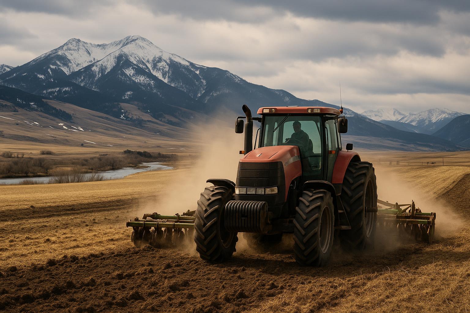
Dry spells don’t hit Montana evenly. One week the Hi-Line is watching wheat and range grass stall out, while parts of the Gallatin Valley catch a timely shower. The next week it flips. That patchwork is exactly why drought tracking matters: the better the on-the-ground reports, the better the picture for producers, lenders, insurers, and agencies making decisions tied to grazing, hay, and water.
Reports indicate more Montana producers are using public tools to document local conditions—everything from pasture growth and stock water to irrigation supply. The point isn’t to “talk up” drought. It’s to make sure conditions in places like the Bitterroot Valley, Yellowstone Valley, Flathead Valley, and the Hi-Line are accurately reflected when maps and programs are updated.
How drought gets “counted” in Montana
Drought categories used by the U.S. Drought Monitor can influence everything from USDA disaster designations to some insurance and relief triggers. That weekly map is built from multiple data streams—precipitation, soil moisture, streamflow, satellite vegetation signals—and it also relies on local input.
Local input matters because Montana’s real-world impacts show up fast and vary by elevation, soil type, and water source. A few examples producers recognize:
- Range and pasture: green-up timing, regrowth after turnout, and how long a pasture holds before it’s grazed down.
- Hay production: first cutting yield and quality, regrowth prospects, and whether sub-irrigated meadows are holding.
- Stock water: springs slowing, dugouts dropping, creeks going intermittent, and well performance.
- Irrigation supply: headgate allocations, reservoir storage trends, and curtailment risk in sensitive basins.
When those impacts are documented and shared in a consistent way, it helps drought analysts separate a short dry stretch from a season that’s truly tightening up.
Practical ways producers can report conditions
You don’t need fancy equipment to contribute useful information. What matters is being specific: where you are, what you’re seeing, and how it compares to normal.
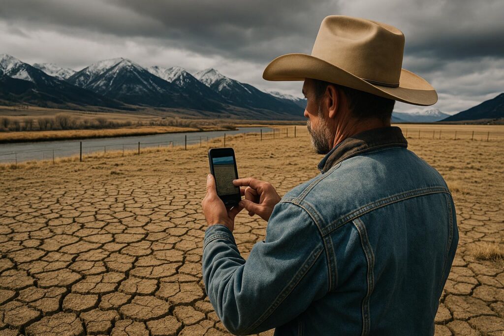
- Submit a condition report: The U.S. Drought Monitor site links to ways to share local observations. Many drought feedback tools ask about pasture, crops, water, and impacts. Include your county, nearest town, or watershed if possible.
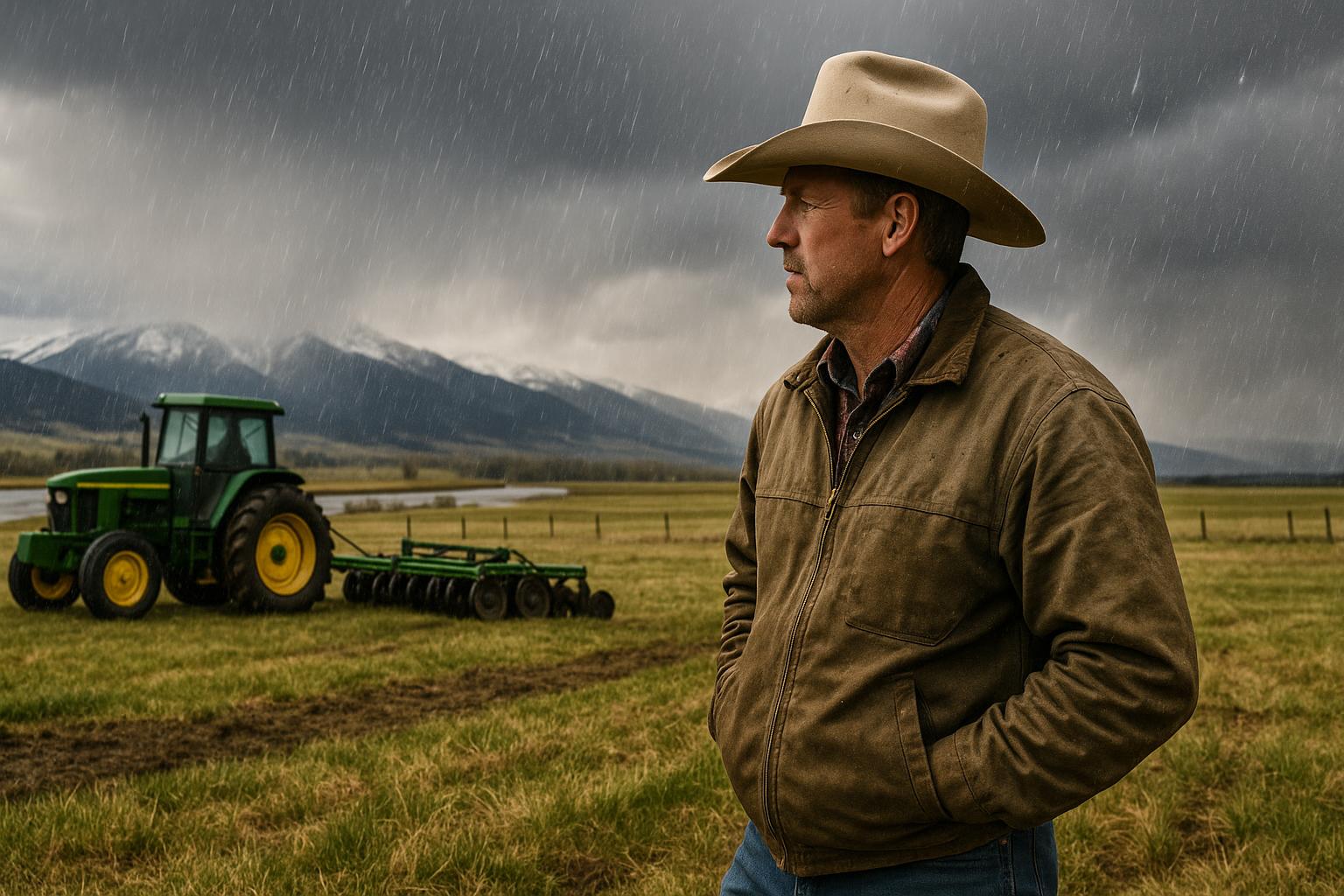
- Use photos with context: A pasture photo is far more useful when it includes the date, general location, and notes like “normally would be belly-high by now” or “second rotation delayed two weeks.”
- Track precipitation at your place: A basic rain gauge and a notebook still go a long way. If you’re comfortable sharing totals, it helps confirm whether a storm actually benefited your area or missed it by a few miles.
- Watch streamflow and snowpack data: Producers can cross-check what they’re seeing with public gauges. For river and creek conditions, USGS Montana real-time water data is a starting point. For snowpack and basin supply signals, NRCS Montana snow information provides context.
- Lean on local networks: Conservation districts, Extension offices, and watershed groups often compile observations that can be relayed in a more organized way—especially during fast-changing conditions.
One caution: a single report doesn’t “move the map” by itself. But consistent, location-specific reports across a region can help analysts understand what’s happening between weather stations and satellite pixels.
Where Montana differences show up fastest
Montana’s geography makes drought monitoring a local sport. Here are a few places where small shifts can have big operational consequences:
- Hi-Line: Dryland crops and native range can turn quickly when spring moisture is short. Wind and heat accelerate losses, and the distance between reliable rain gauges can be large.
- Yellowstone Valley: Irrigation helps, but supply depends on runoff timing, reservoir storage, and demand. Hot stretches can spike evapotranspiration and push water needs higher than planned.
- Gallatin Valley: Competition for water can tighten during low-flow periods, and pasture conditions can vary sharply between benches, foothills, and irrigated bottoms.
- Bitterroot Valley: Producers often watch late-summer flows closely. A dry early season can raise concerns about stock water and pasture regrowth, especially on lighter soils.
- Flathead Valley: Higher precipitation can mask localized deficits. Shallow-rooted pastures and hay fields can still stress during warm, windy periods even when the broader region looks “okay.”
Those regional differences are exactly why Montana needs more boots-on-the-ground reporting—because the statewide average rarely matches the decision you have to make at the gate.
What This Means for Montana Ranchers and Farmers
Accurate drought depiction isn’t just a weather conversation. It touches real dollars and real management options:
- Grazing and destocking decisions: If conditions are deteriorating, early documentation supports earlier marketing choices and grazing plan changes—before everyone hits the sale barn at once.
- Hay planning and feed budgets: Reporting low yields or poor regrowth helps set expectations. It also helps explain why local hay prices may firm up, especially if neighboring regions are short too.
- Irrigation and water scheduling: When basin conditions are clearly documented, it can improve coordination and communication around shortages, timing, and conservation measures.
- Program eligibility and assistance: Some relief programs and disaster tools use drought categories or related indicators. Producers shouldn’t assume maps will capture local impacts without local input.
- Fire season readiness: Drier fuels on rangeland and hay ground raise the stakes for equipment checks, water tenders, and harvest timing. Local observations can help flag areas where fire risk is rising.
For Montana agriculture, the value is simple: better information leads to better decisions, and better decisions reduce the cost of surprises.
What to Watch Next in Montana Agriculture
- Weekly drought map updates: Check changes on the U.S. Drought Monitor, but compare them to what you’re seeing on your own place.
- NRCS water supply signals: Snowpack and basin outlooks can hint at irrigation reliability and late-summer streamflow pressure. Use NRCS Montana snow resources for updates.
- USGS gauges on key creeks and rivers: Watch for sustained drops that affect diversions, stock water, and fisheries flows. Start at USGS real-time water.
- First and second cutting hay reports: Pay attention to local yield chatter by valley and elevation. If regrowth is weak, hay movement and pricing can shift quickly.
- Cattle market timing: If drought expands, more early weaning and cull sales can show up. Montana producers should watch regional sale volumes and weigh freight costs against local demand.
- Local restrictions and water calls: In tighter years, expect more discussion around voluntary conservation, rotation schedules, and possible restrictions in certain basins.
Montana ranchers and farmers can’t control the weather, but they can control how well conditions are documented. If your pastures are burning up early, your creek is dropping, or your hay is coming in light, it’s worth taking five minutes to report it—so the people building the maps and the programs aren’t guessing from a distance.
Inspiration: www.farmprogress.com