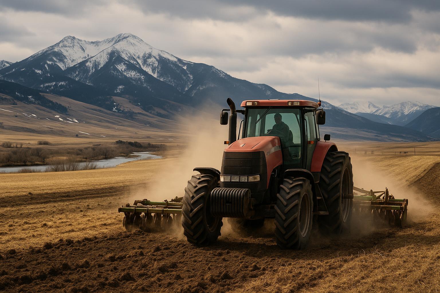
Dry years in Montana rarely show up evenly. One operation in the Bitterroot Valley can be watching grass stall out while a neighbor a few miles away catches a timely shower. On the Hi-Line, wind and heat can take topsoil moisture in a hurry even when totals don’t look terrible on paper. That patchwork is exactly why drought tracking matters—and why local observations from ranchers and farmers can improve the picture for everyone.
Reports indicate that state and federal drought tools increasingly rely on a mix of weather data, satellite indicators and on-the-ground reports. The data streams are useful, but they can miss what producers see first: stock ponds dropping, subsoil turning to powder, irrigation demand spiking, or hay stands thinning before a yield loss shows up in official numbers.
How Montana Producers Can Help Track Drought
You don’t need special equipment to contribute, but a few consistent observations can make a difference—especially when conditions are changing quickly. Here are practical ways to add Montana ground-truth to drought tracking.
- Submit regular condition reports. The easiest entry point is the Condition Monitoring Observer Reports (CMOR) system hosted by the National Drought Mitigation Center. Producers can note precipitation received, pasture condition, crop stress, water availability, and other impacts.
- Use CoCoRaHS if you already watch rainfall. If you keep a rain gauge, consider joining CoCoRaHS (Community Collaborative Rain, Hail & Snow Network). Daily or event-based precipitation reports help fill gaps between weather stations—important in valleys and foothills where storms can be highly localized.
- Document impacts with dates and locations. Notes like “first irrigation set started two weeks early” or “stockwater hauled starting June 20” are more valuable when tied to a specific area (for example: north end of the Gallatin Valley benchlands, or east of Havre on the Hi-Line).
- Track what you already track—just more consistently. Simple, repeatable measures are powerful: pond level photos from the same spot, pasture height estimates, hay cutting dates, or irrigation run times.
- Follow the same public maps decision-makers see. Keep an eye on the U.S. Drought Monitor and compare it to what you’re seeing. If the map doesn’t match local reality, that’s a signal to submit a report with specifics.
Montana also maintains state-level drought and climate resources through the Montana Drought Management site. For producers, it can be a useful hub for current conditions, planning information and links to monitoring tools.
What Happened: Why “Local Eyes” Matter in a Big State
Montana’s weather station network and satellite products provide broad coverage, but they can’t fully capture operational impacts. A satellite might detect vegetation greenness, but it doesn’t know if that green is a short-lived flush that won’t carry a cow-calf pair through August. A regional precipitation average doesn’t show whether a storm missed the Flathead Valley’s drier benches or hit the irrigated bottoms in the Yellowstone Valley.
That’s where rancher and farmer observations come in. Drought classification is partly about measurable deficits (precipitation, streamflow, soil moisture) and partly about impacts (range condition, crop stress, water shortages). When producers report impacts early and clearly, it can help analysts and agencies reflect conditions sooner and more accurately.
Where These Reports Can Make a Difference
Most producers aren’t filing reports to “move a map.” They’re trying to make sure the public picture matches what’s happening on the ground—because that picture can influence everything from planning conversations with lenders to how quickly assistance programs are triggered.
- Grazing and hay planning. If pasture condition is slipping in the Bitterroot Valley or Gallatin Valley foothills, early documentation helps justify earlier weaning, destocking, or shifting to aftermath and rented grass.
- Irrigation management and water messaging. In the Yellowstone Valley, where irrigation is central to hay and crop production, reports that include curtailed water deliveries, low ditch flows, or shortened sets help show real operational constraints.
- Hi-Line dryland cropping decisions. Small grains and pulse crops can look fine until heat and wind strip moisture at the wrong time. Field-level notes on emergence, heading, and stress can complement precipitation totals.
- Community-level awareness. Local reports can help neighbors, conservation districts, and county officials see whether conditions are trending toward fire risk, stockwater shortages, or hay supply problems.
What This Means for Montana Ranchers and Farmers
For Montana agriculture, better drought reporting is about timing. Waiting until hay is short or pastures are overgrazed is too late to preserve options. When local conditions are documented early, producers and communities are in a stronger position to respond.
- It supports earlier, clearer decision-making. If you’re watching shallow wells drop or seeing alfalfa regrowth slow, writing it down and reporting it helps you benchmark the season—and can back up tough calls like culling, early shipping, or buying feed before prices jump.
- It can help align assistance with reality. Many programs and disaster designations rely on drought indicators and impact documentation. Producer reports won’t guarantee outcomes, but they can help ensure Montana’s conditions are represented with real-world detail.
- It improves the accuracy of regional comparisons. The Flathead Valley may look different than the Hi-Line in the same week. Consistent local reporting helps keep “Montana drought” from being treated as one uniform story.
Just as important: reporting doesn’t require exaggeration. The most useful submissions are specific and measured—what you’re seeing, when it started, what changed, and what it’s doing to forage, crops, water and livestock management.
Practical Tips for Submitting Useful Drought Observations
- Be specific about location. “North of Choteau” is good; “20 miles north of Choteau on the west side of the highway” is better.
- Include a timeframe. Note whether a condition has persisted for weeks or changed in the last few days.
- Describe impacts, not just feelings. Example: “Second cutting projected down by a third based on stand height and regrowth speed” is more actionable than “it’s really dry.”
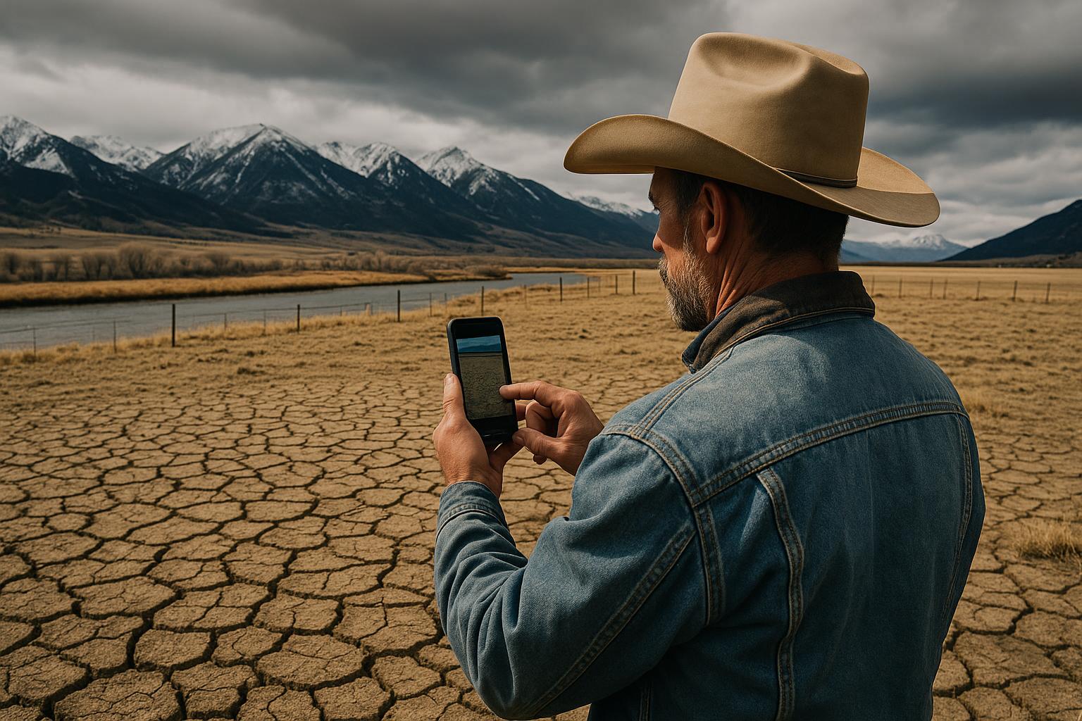
- Add photos when appropriate. Pond level markers, pasture residual, cracked soil, or stressed crops can help confirm what words describe.
- Report even when conditions improve. Timely rain matters. If the Bitterroot catches a soaking storm that changes pasture outlook, that’s worth documenting too.
What to Watch Next in Montana Agriculture
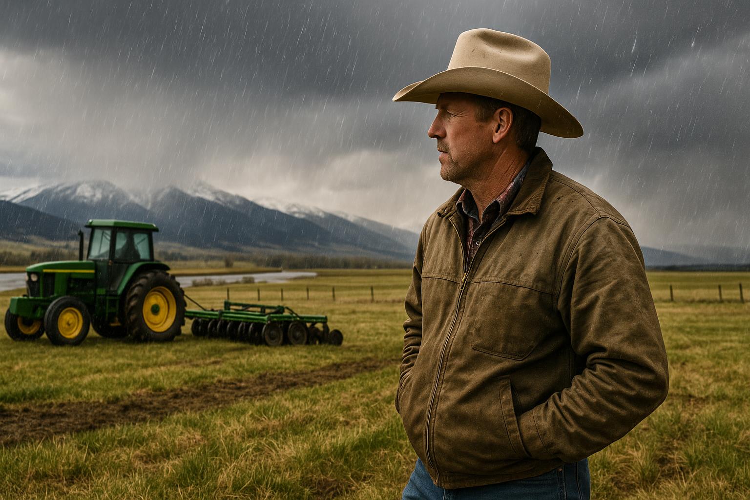
As the growing season advances, a few indicators tend to separate a manageable dry spell from a season that forces bigger moves. Here’s what ranchers and farmers across Montana should keep an eye on.
- Soil moisture and regrowth after first cutting. In hay country—whether irrigated bottoms in the Yellowstone Valley or mixed systems in the Gallatin and Bitterroot—watch how quickly fields rebound after cutting. Slow regrowth can be an early warning even if the first crop looked decent.
- Stockwater reliability. Pay attention to springs, creeks, and small reservoirs. If you’re already hauling water or adding tanks earlier than normal, document it and plan for labor and fuel costs.
- Irrigation supply signals. Monitor ditch company updates, streamflow reports, and any hints of reduced deliveries. If you depend on irrigation, consider contingency plans for the next set of hot, windy weeks.
- Pasture utilization rates. If you’re taking more than planned early in the season, you may be setting up a late-summer pinch. Watch residuals and adjust rotations before you’re forced into emergency moves.
- Hay market tone. If second cutting prospects fade or pasture conditions tighten, hay demand can firm fast. Keep tabs on local listings and talk with neighbors early if you expect to be short.
- Fire weather and smoke impacts. Dry grass, wind events and lightning can change access to grazing and affect livestock performance. If you’re in high-risk areas, factor potential disruptions into pasture plans.
Bottom line: local reporting is one more tool in the box. It won’t make it rain, but it can sharpen the information Montana producers and decision-makers use when the season turns.
Inspiration: www.farmprogress.com