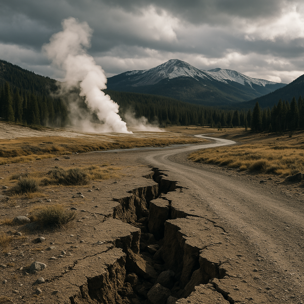
Folks in Montana don’t need a reminder that we live next door to one of the most closely watched volcanic systems on Earth. Yellowstone’s geysers and hot springs are the postcard version. The less photogenic side is the steady background of small earthquakes and slow ground movement that scientists monitor year-round.
Recent reporting highlights how some Yellowstone earthquakes can be associated with ground deformation—meaning the land surface rises or sinks slightly over time. That can sound dramatic, but in Yellowstone it’s often part of the park’s normal “breathing,” driven by shifting fluids and heat beneath the surface. Still, it’s worth understanding what’s being observed and where to find reliable updates.
Map and background resources are available from the U.S. Geological Survey (USGS). If the image above doesn’t load for your device, see the linked resources in the article.
Quick takeaways
- Small quakes are routine in and around Yellowstone; many are too small to feel.
- Ground deformation (slow uplift or subsidence) is monitored with GPS and satellite radar, and it can be tied to moving fluids underground.
- Most deformation is not a sign of an imminent eruption; scientists look for multiple changes happening together.
- Montana impacts are usually indirect: travel disruptions, visitor behavior, and occasional felt shaking near the border.
- Best sources for updates are the USGS Yellowstone Volcano Observatory and the USGS Earthquake Hazards Program.
What “ground deformation” means in Yellowstone
Ground deformation is exactly what it sounds like: the ground surface changes elevation over time. In Yellowstone, those changes are usually measured in centimeters over months to years—sometimes rising, sometimes sinking, sometimes switching directions.
Reports indicate that some earthquake activity can be related to this deformation. That relationship often comes down to pressure changes underground. Think of it like a complex plumbing-and-pressure system:
- Hot water and steam move through fractures.
- Gases and heat rise from deeper magma-related sources.
- Rock layers flex slightly as pressures change.
When pressures shift, faults can slip in small increments, producing swarms of minor earthquakes. That doesn’t automatically mean magma is rising toward the surface. In many cases, it’s consistent with fluids moving through the hydrothermal system—the same system that feeds geysers and hot springs.
Why Yellowstone gets so many earthquakes
Yellowstone is one of the most seismically active areas in the Rockies. Thousands of earthquakes can occur in an average year, most of them tiny. A common pattern is the earthquake swarm, where many small quakes happen close together in time and space.
For Montanans who spend time near Gardiner, Cooke City, West Yellowstone, or down in the Paradise Valley, the important context is this: earthquake swarms are a known Yellowstone pattern. Scientists pay attention to swarms because they can reveal where stress or fluids are moving, but swarms alone are not a prediction of a major event.
If you want to see what’s happening in near-real time, the USGS posts maps and event details here: USGS Earthquake Map.
How scientists track uplift and subsidence
Yellowstone is heavily instrumented. Monitoring is a mix of boots-on-the-ground fieldwork and remote sensing. Key tools include:
- Continuous GPS stations that measure ground movement at fixed points.
- InSAR satellite radar that can detect subtle surface changes over broad areas.
- Seismometers that record earthquakes and help locate where they occur underground.
- Gas and thermal measurements that track changes in hydrothermal areas.
Scientists look for patterns across multiple datasets. A small uplift episode paired with typical background seismicity might be unremarkable. But if there were simultaneous changes—like unusual earthquake locations, notable gas shifts, and rapid deformation—those combined signals would draw more scrutiny. Even then, conclusions are cautious and based on evidence.
What this means for Montana
For most Montanans, Yellowstone’s day-to-day geologic motion is more about awareness than alarm. Here are the practical angles for hunters, anglers, farmers, and ranchers:
1) Travel and access near the park
Felt earthquakes (even modest ones) can trigger temporary closures, rockfall concerns, and heightened caution on steep road cuts—especially in canyon country. If you’re hauling a horse trailer, running a fall hunting shuttle, or heading south for late-season elk, it’s smart to check road conditions and alerts before you go.
2) Visitor behavior and pressure on nearby Montana waters
When Yellowstone makes headlines—whether for quakes, geyser activity, or thermal features—some visitors change plans. That can push more traffic toward Montana-side access points and nearby fisheries. Local anglers may notice more vehicles at popular pullouts during peak news cycles, particularly around West Yellowstone and the Madison corridor.
3) Ranch operations: mostly indirect, but keep preparedness current
Earthquake risk in Montana is real beyond Yellowstone, especially in the Intermountain West. Even if Yellowstone activity remains within normal ranges, it’s a good prompt for basics: secure heavy items in shops, review generator readiness, keep a water plan for livestock, and know how to get emergency info when cell service is spotty.
4) Hunting and fishing safety around thermal areas
If you’re recreating near geothermal features (especially on the Wyoming side, but also in connected regions), stay on established trails and boardwalks. Ground near hot springs can be thin and unstable. Earthquake activity can sometimes rearrange or open/close small vents, but the bigger safety message doesn’t change: treat thermal ground as hazardous.
What is NOT being said (and why that matters)
It’s easy for Yellowstone stories to drift into “supervolcano” talk. The more accurate framing is that Yellowstone is a dynamic volcanic and hydrothermal system with frequent small quakes and measurable ground movement. Those observations are part of why the region is monitored so closely.
Importantly, reports about deformation-linked earthquakes do not automatically mean an eruption is coming. Eruptions are rare on human timescales, and scientists emphasize that forecasting would rely on multiple strong indicators, not a single swarm or a single deformation episode.
Where to get reliable updates
- USGS Yellowstone Volcano Observatory updates
- USGS earthquake search (custom time and area)
- National Park Service safety information
A Montana-minded bottom line
Yellowstone’s small earthquakes and slow ground movement are part of living next to a geologically active neighbor. The smart approach for Montana outdoorsmen and ag producers is to stay informed through credible sources, keep basic emergency readiness in place, and avoid letting dramatic headlines outrun the science.
Inspiration: “yellowstone national park” – Google News (link)

Cool!
BLAH
assdsa